Local Weather for Dublin, OH: (32°F/0°C) 
Rating: 4.6
Platform: 3.0 and up
Date Published: December 26, 2013
App Version: 1.9
Author: WeatherSphere
Application Description:
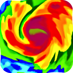
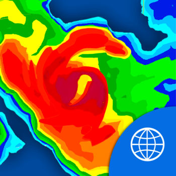
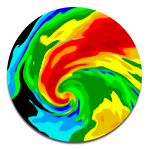
Simple yet powerful app that shows hi-definition real-time animated weather radar images with snowfall, hurricane tracks, lightning strikes, severe weather warnings, storm tracks arrows with hail information, wildfires with firefighting updates, on a fluid responsive map that loads faster than any other app in the Play Store.
Plus bookmark unlimited locations on the map to quickly do a radar + forecast check for all your important places.
Plus this is the only app that automatically augments land-based radar images with latest images from NOAA satellites covering the Atlantic/Pacific oceans into one single screen. This lets you track and follow the upcoming hurricanes and storms all from the same map.
✓ Install and go, no complex setup
✓ Sharp images
✓ Fast Loading
✓ Near real-time, shows the latest radar images within minutes of being gathered
✓ Hurricane and Tropical Storm Forecast Tracks with detailed information
✓ Severe weather warning boxes on the map with full detail
✓ Lightning strikes on the map within a few minutes of the actual strike!
✓ Storm Track arrows with detailed storm information including hail probability.
✓ Check the current weather + forecast for any point on the map
✓ Intuitive Play/pause/manual modes for moving between frames
✓ Always shows both time-stamp and "minutes ago" with each frame to prevent any confusion while viewing the loop
✓ Select opacity of radar images to your taste
✓ Portrait/Landscape/Full Screen
Coverage Notes: If you live in a very-high-altitude town in Colorado (e.g. Fraser, Vail, Aspen), most likely this app will not meet your needs since radar beams get blocked by the tall mountains. Alaska coverage includes only the southern coastal areas, and does not include the Aleutian Chain. Also cloud coverage does not include Alaska and Guam.
Notes:
✓ This app is only useful for users in the US, including all 50 states and territories including Puerto Rico and Guam.
Please follow our twitter stream at http://twitter.com/hidef_radar for news and updates.
Get App
NOAA World Radar is the most complete, reliable, and stunning weather radar app available.
Use World Radar to seeMore...
A free weather application with no advertising, no tracking using the National Weather Service API.
Features, cuMore...

Be ready for severe weather with Hurricane by American Red Cross. Monitor conditions in your area or throughout the storMore...
iHurricane by HurricaneSoftware.com Is The Most Popular Hurricane Tracking App For iPhone/iPad and iTouch.
- FroMore...

Hurricane tracking on a Google Maps background. Shows the tracks and forecasts of active hurricanes tropical storms. AlMore...

Surfline gives you access to the best real-time surf reports, long range swell, and weather forecasts for all your favorMore...
eWeather HD is the first app in the world with radar, hurricane tracking, earthquakes and alerts widgets, geomagnetic stMore...
Get a powerful yet easy-to-use weather station right on your device with Weather Radar & Alerts. Real-time anMore...