Local Weather for Dublin, OH: (32°F/0°C) 
Rating: 4.6
Platform: 3.0 and up
Date Published: December 26, 2013
App Version: 1.2
Author: WeatherSphere
Application Description:
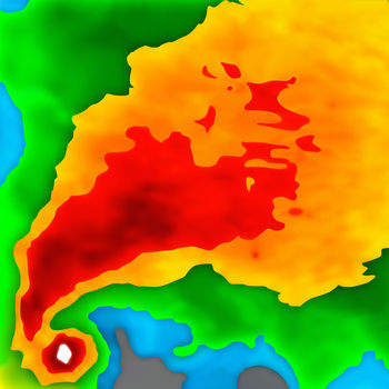
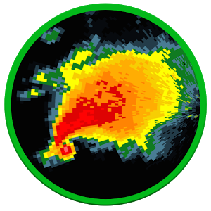
Stunning Past and FutureCast Radar Images, Snowfall, Hurricane Tracks, Real-Time Lightning Strikes. See where storms, tornadoes and derechoes are expected to go! Plus see weather forecast, severe weather warning boxes, storm direction arrows, hurricane forecast tracks and wildfires on the same map!
Plus this is the only app that shows hi-definition animated past, current and future-radar in a single continuous sequence on a fluid responsive map without having to press a single button.
Plus this is the only app that can instantly show predicted rain start/stop times for any point on the map.
Plus this is the only app that allows you to control the loop speed, and also choose the interval between individual frames from 5 minutes all the way to 1 hr, and also change the number of frames shown in animation.
Plus this is the only app that automatically augments land-based radar images with latest images from NOAA satellites covering the Atlantic/Pacific oceans into one single screen. This lets you track and follow the upcoming hurricanes and storms all from the same map.
Plus easily bookmark multiple locations so you can do a quick radar + forecast check for all your important places in just a few seconds.
- Install and go, no complex setup
- RadarCast - our proprietary realtime future-cast technology that lets you see hi-definition radar one hour into the future
- Rain start/ stop times for any point on the map
- Near real-time, shows the latest radar images within minutes of being gathered.
- Severe weather warning boxes on the map
- Storm Tracks on the map with detailed storm information
- Hurricane Forecast Tracks on the map with detailed information
- Wildfire locations on map with detailed information and firefighting updates
- Bookmark multiple locations for quick access
- Check the current weather + forecast for any point on the map
- Fast Loading
- Intuitive Play/pause/manual modes for moving between frames.
- Always shows both time-stamp and "minutes ago" with each frame to prevent any confusion while viewing the loop
- Select opacity of radar images to your taste
- Read Area Forecast Discussions issued by your nearest NWS forecast office.
- Check your local radar site's hardware operational status from within the app
- See images from upto 6 hours ago by increasing frame interval and number of frames to maximum
- Portrait/Landscape/FullScreen
- Get fast support from within the app
Coverage Notes: If you live in a very-high-altitude town in Colorado (e.g. Fraser, Vail, Aspen), most likely this app will not meet your needs since radar beams get blocked by the tall mountains. Alaska coverage includes only the southern coastal areas, and does not include the Aleutian Chain. Cloud coverage does not include Alaska and Guam. Also, push-notifications for rain will not work reliably in Hawaii, Guam and Alaska. Aviation Sectional Charts are not available for Hawaii.
Notes:
- This app is only useful for users in the US, including all 50 states and territories including Puerto Rico and Guam.
Get App
Hourly weather forecasts. Nigeria and South African rainfall radar and satellite map every 5 min.
Whatever your plansMore...
Rain coming? Check Raindar! Animated Doppler radar on Google Maps for the US. Now also on Google TV and tablet!
GMore...
Poke Radar for Pokemon GO is an assistant app for discovering the location of any Pokemon that's been found by other plaMore...
LIMITED TIME SALE! - 50% OFF! - DOWNLOAD NOW! Optimized for iOS 10!
Now on your Apple Watch! Weather Radar is a pMore...
Now with selective spotter tracking!
Radar Alive! brings weather radar to your phone or tablet from all US stateMore...
The #1 most up to date NOAA radar display possible!
Use RadarNow! to quickly see an animated radar image and currMore...
RadarScope is a specialized display utility for weather enthusiasts and meteorologists that allows you view NEXRAD LevelMore...
Get Canadian weather conditions & forecasts for all provinces and cities in real-time, and Doppler radar so you can More...