Local Weather for Dublin, OH: (32°F/0°C) 
Rating: Rated 4+
Platform: Requires iOS 9.0 or later. Compatible with iPhone, iPad, and iPod touch.
Date Published: Dec 19, 2016
App Version: 3.1.23
Language(s): Language: English
Author: BYSS mobile
Application Description:
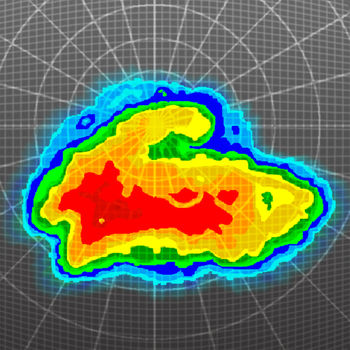
Weather Widget with live rain radar for iPhone!!!
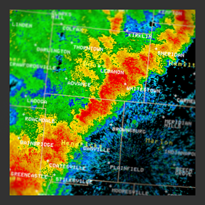
Just pull down notification area to check weather radar!
Always ready for you! No more searching for your weather app!
Easy to distinguish colors for rain, snow and mixed participation.
To enable pull down notification center and swipe to edit and choose our weather widget!
In addition app will display current temperature at it’s icon pulled from local network of weather stations.
features:
- fastest and best looking weather widget in your notification center
- current conditions around you
- forecast and report stream
- outdoor temperature at your location determined by your GPS
- C and F thermometer, pressure, humidity, wind speed, and visibility details, dew point info, chance of participation
- beautiful weather forecast for today, tonight and next 4 days
- tomorrow weather forecast push notification with emoji weather coding(more convenient then switching to your TV channel)
- Weather Alerts & Warnings
Wake up and know your weather! Save time for your TV morning channel news.
* Widgets are available in iOS8 and newer
* Weather radar widget works only in Australia, America (Canada, Mexico, US) and Europe (Germany, UK, France, Netherlands, Belgium, Luxembourg, Switzerland) & Japan
Get App
Hourly weather forecasts. Nigeria and South African rainfall radar and satellite map every 5 min.
Whatever your plansMore...
Three fixes in version 1.7.6:
1) The "rock back and forth" mode checkbox was previously not saving its state pMore...
The new Weather Underground Android app provides the world's most accurate hyper-local weather forecasts in addition to More...
Oz Radar Weather pulls data directly from the Australian Bureau of Meteorology web site. The app displays the local weatMore...
Now with selective spotter tracking!
Radar Alive! brings weather radar to your phone or tablet from all US stateMore...
Stunning Past and FutureCast Radar Images, Snowfall, Hurricane Tracks, Real-Time Lightning Strikes. See where storms, toMore...
RadarScope is a specialized display utility for weather enthusiasts and meteorologists that allows you view NEXRAD LevelMore...
Thanks to everyone for making MyRadar so successful, with over 25 million downloads!
MyRadar is a fast, easy-to-uMore...