Local Weather for Dublin, OH: (32°F/0°C) 
Rating: 4.4
Platform: 2.2 and up
Date Published: November 3, 2013
App Version: 2.5
Author: Gerrit van Doorn
Application Description:
Rain coming? Check Raindar! Animated Doppler radar on Google Maps for the US. Now also on Google TV and tablet!
Going somewhere and you're not sure if you need to bring your umbrella? Want to check if there's going to be fresh powder snow on the slopes in Tahoe tomorrow? Check Raindar! Raindar displays animated Doppler radar images on your Google Map. When you start Raindar it automatically focuses on your location so you can quickly see if there is precipitation coming your way. When pressing the search button on your phone you can now also search for locations within the US!
Raindar works out of the box but has many configuration options (see the recent changes page).
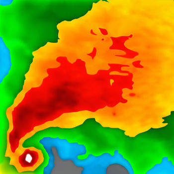
Color:
- green/yellow/red is rain
- blue/white is snow
Raindar can now also display storm tracks! It displays different icons for each of the 4 types of storms:
- Yellow circle: thunderstorm
- Yellow square: Hail Storm
- Yellow diamond: Rotating Thunderstorm (Mesocyclone)
- Magenta triangle: Tornado Vortex Signature (pretty heavy!)
When clicking on one of those icons a dialog will appear with detailed information.
The storm tracks also display the direction and speed of the storm in the form of an arc. The arc is split in 3 parts: 20, 40 and 60 minutes until the storm reaches that area.
On Google TV:
- Use the D-pad for navigate up/down/left/right
- Use the media forward/back or next/previous buttons to zoom in and out
Radar images and storm track data courtesy of Weather Underground. Raindar displays images from the WunderMap.
Geocoding courtesy of GeoNames.org.
If you find a bug, or have suggestions, contact me by email.
Get App
LIMITED TIME SALE! - 50% OFF! - DOWNLOAD NOW! Optimized for iOS 10!
Now on your Apple Watch! Weather Radar is a pMore...
MORECASTâ„¢ Premium Weather & Radar is your personal weather companion, that helps you prepare for uMore...
Radar Express gives you instant access to a high resolution animated weather radar and all the local weather informationMore...
The new Weather Underground Android app provides the world's most accurate hyper-local weather forecasts in addition to More...
The wait for Storm Radar is over! High definition radar, advanced storm cell tracking, and real-time severe weather aleMore...
MyRadar is a fast, easy-to-use, no-frills application that displays animated weather radar around your current location,More...
Poke Radar for Pokemon GO is an assistant app for discovering the location of any Pokemon that's been found by other plaMore...
Don't get caught in the rain!
Fed up with incorrect weather forecasts?
Rain Alarm reliably warns you of rMore...