Local Weather for Dublin, OH: (32°F/0°C) 
Rating: 4.5
Platform: Varies with device
Date Published: January 19, 2017
App Version: Varies with device
Author: Pandamonium Software
Application Description:
Retrieve real-time 7-day hyperlocal point weather forecasts and current weather conditions for worldwide locations from NOAA NWS, Environment Canada & Dark Sky based on your current location or any location in the world.
Not only are NOAA forecasts the most accurate, they provide unique point forecasts for every square mile which take into consideration all the variables affecting the weather at that point, such as altitude. This is especially useful in locations with highly dynamic weather patterns and is a great tool for being outdoors.
-View forecast & current conditions for your current location.
-View forecast & current conditions for any location in the world by map.
-Save favorite locations to quickly retrieve forecasts for them.
-Hourly forecast
-Animated radar, cloud cover, precipitation & wind imagery over Google Maps
-Map measuring tool to measure distance and elevation
-Hazardous weather alerts
-Current conditions notification
-Home screen widget
-Light and Dark Material themes
-Optimized for tablets
-Android Wear support
In-app purchase is available to remove ads.
Please e-mail me below with any bug reports or features requests. Thanks!
Get App
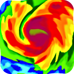
Simple yet powerful app that shows hi-definition real-time animated weather radar images with snowfall, hurricane tracksMore...

Get your family and home ready for a tornado. The American Red Cross tornado app is the complete solution you need to unMore...
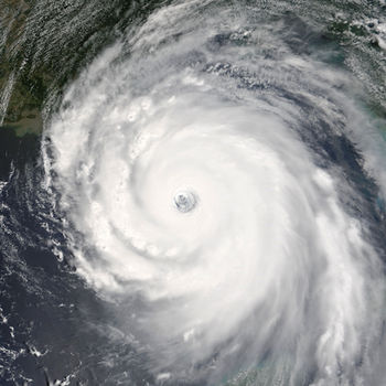
NOAA Now provides the latest information from the National Oceanic and Atmospheric Administration including: hurricanesMore...
Thanks to everyone for making MyRadar so successful, with over 25 million downloads!
MyRadar is a fast, easy-to-uMore...

This weather app is not affiliated with NOAA or the National Weather Service. Products provided by NOAA are in the publMore...
NOAA World Radar is the most complete, reliable, and stunning weather radar app available.
Use World Radar to seeMore...
eWeather HD is the first app in the world with radar, hurricane tracking, earthquakes and alerts widgets, geomagnetic stMore...

Help keep your family safe in severe weather, man made/natural hazards with Emergency by the American Red Cross. MonitorMore...